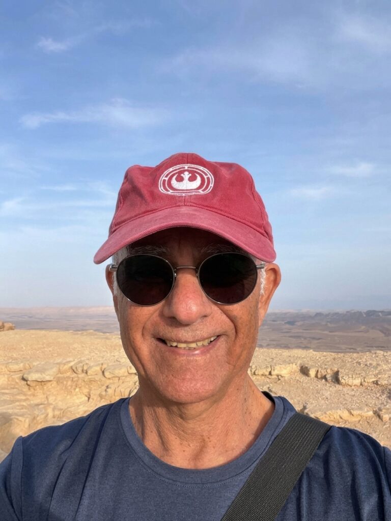
My journey as a guide and the story of EyeOnIsrael
After studying Middle Eastern History at Tel Aviv University, I completed a two-year professional training course through Israel’s Ministry of Tourism and received my official tour guide license. I began my journey as a field studies teacher, taking students aged 14 to 16 on day trips to historical sites across Israel. Over the years, I developed a particular interest in the connection between the Bible, history, archaeology, and the landscape of Israel.
When I began guiding tourist groups from around the world, I noticed how difficult it could be for visitors to move between sites, absorb so much information, and connect it all into one story. This was especially true in the Old City of Jerusalem, where so many historical sites and stories overlap in a relatively small area. I often felt that something was missing from my explanations.
One day, while guiding a group, I decided to try something different. I drew a simple map of our route, marking the sites we would visit and adding brief explanations. I then handed a copy to each member of the group and invited them to follow the map as we explored the Old City.
The result was remarkable. The visitors could follow my explanations much more easily, and guiding became easier for me too. I realized how much an illustrated map, combining locations with short explanations, could improve the experience and help visitors understand the places and their stories. That experience planted the seed for EyeOnIsrael.
With my interest in computers and visual design, I began developing the idea into an illustrated, interactive map of Israel using Macromedia Flash, a creative tool that allowed me to combine drawing, animation, maps, and information on the web.
Unfortunately, as web technology evolved, Flash was no longer supported by modern browsers, and the original version of the website eventually stopped working. Years of work seemed to disappear, but my passion for the idea remained.
EyeOnIsrael today is a renewed version of that original idea: bringing the history and stories of Israel and the Bible to life through illustrated and interactive maps, allowing people to explore the land, discover its places, and understand how they connect.
I continue to work as an Israel tour guide, and I hope the website will be a useful resource for visitors and group leaders planning to explore Israel.